Monday, September 11, 2006

Radio Reception Survey in Guyana

TWR missionary, Ernie Franke, recently spent a week in Guyana, visiting some of our listeners and checking out how well our programming was getting into that country. We are planning to add Spanish programming to our evening schedule, but want to be sure not to mess up our English programming in the process. All the buildings are constructed of wood in Guyana. Sort of reminds me of Ocean Grove, NJ.


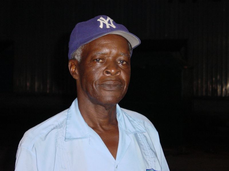
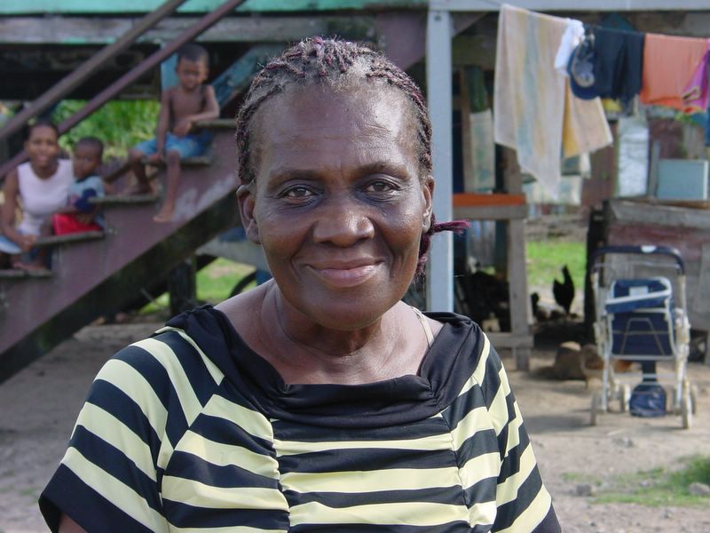
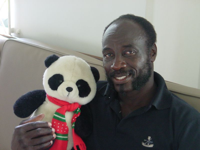
Here are pictures of some of the people who have corresponded with our station on Bonaire.


Ernie was really happy to be able to meet them in person.


In case you are wondering, Ernie brings that bear with him all over the world.


Ernie found that in the evening, there are only two AM radio stations across the whole the radio dial. That may be why we get more letters from Guyana than from any other country/island.


The good news is that our radio signals seem to be doing exctly what the computer models say they should be doing. Ernie is now studying the radio reception situation in Venezuela. We may be able to make some programming changes in October, but the substantial Spanish language changes may not be ready 'till the beginning of 2007.Posted by Picasa

Pelican


We saw a nice Pelican in Washington park on Saturday and got this action photo.

They had heavy rains in the park last week and the roads are really rugged now. Fortunately, our trusty Samurai was up to the task.

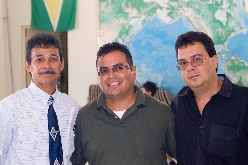
The 3 Caballeros


I recently mentioned that TWR missionary kid, David DeLima, dropped by the office while visiting Bonaire. He also attended the Sunday morning service at the IBCB (International Bible Church of Bonaire) and re-connected with some Bonaire buddies from his growing up years.

From left to right: Tom Francees, David Romo, David DeLima.

Saturday, September 09, 2006

Warawara


Sandra and I went to Washington Park Saturday am and climbed a nice 550 ft. hill. We took the first dirt road/path on the left side just after we passed the road to Playa Benje on the right.

I shot 130 pictures in the park today. Don't worry, I'll probably only post a few of them.

Here are two of a Warawara that cruised by (below) us, riding the thermals between our hill and the ridge just to our north.

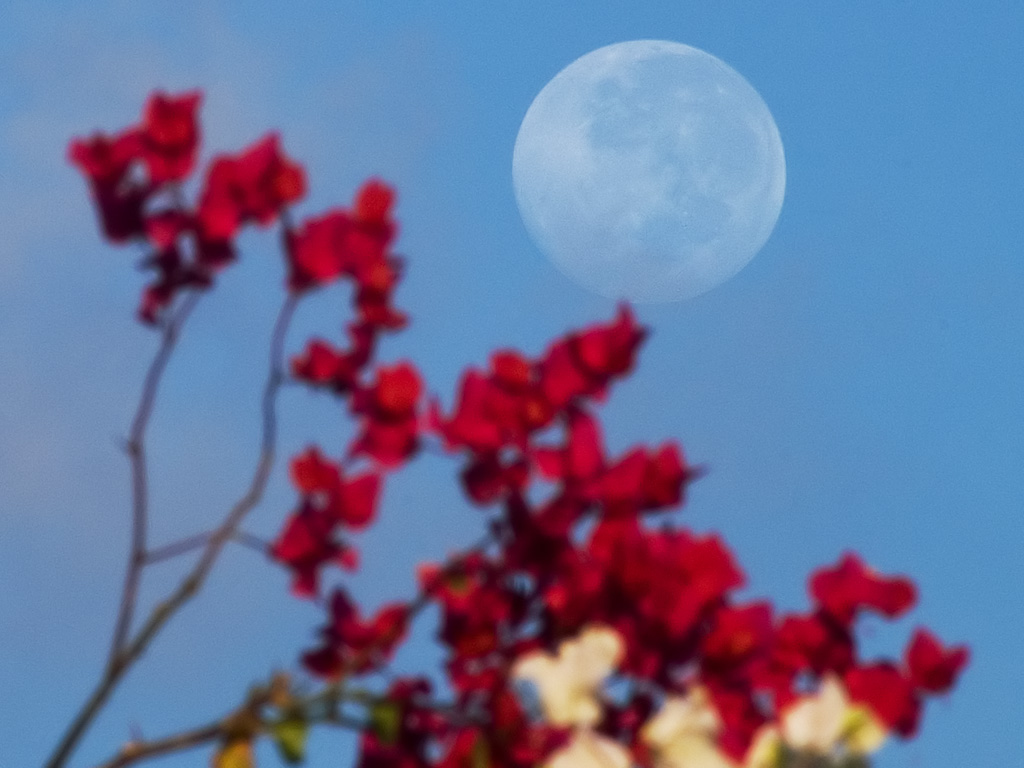
Moonshot


It was pretty clear on Saturday morning... not as clear as last week when we could easily see Curacao, but the sky was still clear enough that the setting moon caught my eye.

Friday, September 08, 2006

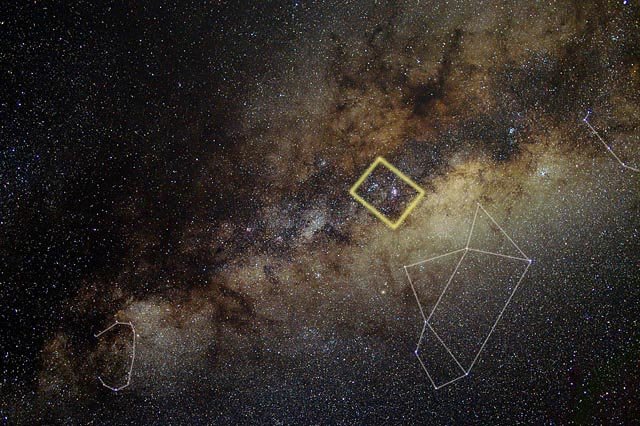
Lagoon Nebula


I recently posted a picture of a big swath of the Milky Way. Here is a close-up picture of a teeny section of that big picture.

I took it back on June 24 and didn't post it because the stars aren't exactly round, and I hope to get a better shot someday. But I think I may go ahead and post some closeup images from that big star field, even if they aren't perfect. It is interesting to see the details hiding in the wide field view.

The Triffid nebula (M20/21) is at the top of the close-up photo. The Lagoon Nebula (M8) is a little below center. The yellow fuzzy thing along the bottom, a little to the left of the Lagoon Nebula is NCG 6544.

The whole picture shows roughly 4 degrees by 3 degrees of the sky and is roughly shown by the area that I boxed in yellow in a copy of the wide field photo that I re-posted here.

If you want to see a 1024x768 version of this picture, click here.

Roots


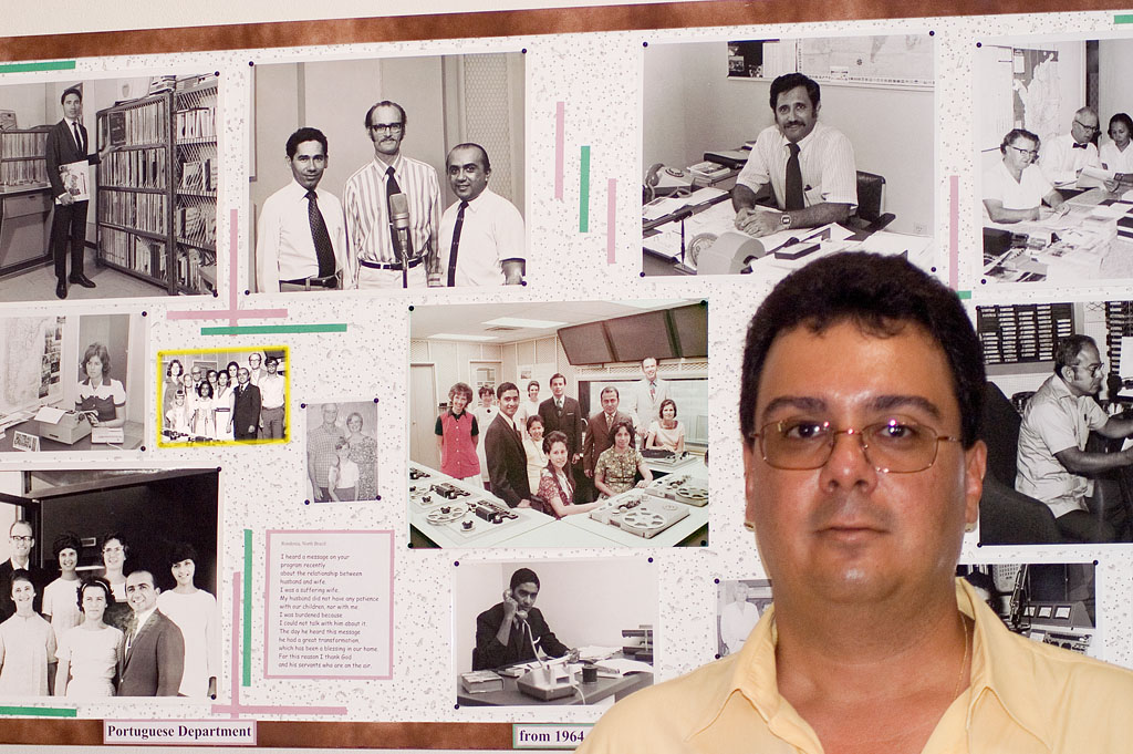
David deLima dropped in at the TWR office earlier this week. It was great to see him again. He visited his old stomping grounds here on Bonaire about four years ago as well. Davi spent about the first 17 years of his life here on Bonaire. We got our scuba diving certification together back in 1979 or so. A bunch of us Hato-ites would pile in my dune buggy each day and head to the Flamingo Beach Hotel, where Linda introduced us to the underwater world. Our first open water dive was right about where the Helma Hooker is now.

I took this picture in front of one the panels on our "memory lane" display along the studio stairs. If you click this link to see a full 3000x2000 pixel version of this picture (and you have your browser set to NOT resize the photo) you can scroll around the image and see Davi with his family back when he was a teen. He's in the photo with the yellow band around it.

Dog Days of September


Well the September doldrums are here in all their glory. The tradewinds have fizzled down to a fitful breeze that is sometimes from the East, sometimes from the South, and sometimes completely absent.

Its all due to the disturbed weather in the southern Atlantic and in the Caribbean at the peak of the hurricane season.

It is seriously hot outside right now and those that can, take shelter in the shade.

On the other hand, this is the prime time of the year for diving on the normally rough East side of Bonaire. Berni Lusse has been out across the reef at Sorobon twice this past week. I don't dive any more, but maybe we'll break out the ol' snorkel and fins this weekend and head out there too. We ALWAYS see amazing stuff out there.

This is also the Tower Painting time of year. We try to paint one of our four antenna towers each year in a regular rotation. Rich West just climbed up one of them this week and reports that the rains have washed all the salt coating off of the towers. So they are in perfect condition to scrape and paint.

The low winds this time of year also help the guys get a nice even coat when applying the paint to the towers. If it is too windy, the wet paint migrates around to the back side of the tower legs before it has a chance to dry.

Wednesday, September 06, 2006

Summer Milky Way

Sandra and I went to the South end of Bonaire to look at the stars back on Monday, August 28. The sky was pretty clear and there were no clouds. The moon set at 9:46 or so. I took the picture below at 10:45. We stayed out there until about midnight and saw lots of meteors, and many stars on the southern horizon that I didn't recognize. When I got home, I looked at my star charts and found that we had seen the constellations: Phoenix, Tucana, and Pavo.

I've noticed that my pictures look quite different on different monitors. This grey scale chart will let you see if your monitor can show all the shades of gray between black black and white white. You should be able to see all 11 vertical bars in each of the two big rectangles.

If you are in a darkened room, try to adjust the brightness control on your monitor so you can just barely detect the grey diagonal stripes in the middle black rectangle.

If you can just see the stripes, and if the white and grey bars really look white and gray without any color tints, then you'll be able to see pretty much what I'm seeing in the astro photos below. You can click on the chart and photos to see them bigger.


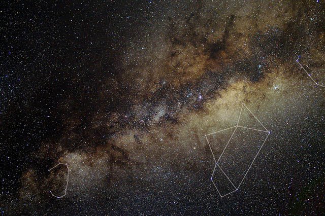
Here is a shot of the summer Milky Way. I flipped it so that it looks like it would when you first see it coming up in the south east. It is a stack of two three minute long exposures shot at F2.8 and ISO 400.

By the way, Blogger doesn't always display the full size pictures, even when you click on these thumbnails to get a bigger version. If you are into stars enough to want to see a full screen version of this photo, just click on this link.


Here is a slightly smaller version of the same picture with some constellation lines drawn in, so you can figure out what you are seeing... if you know your way around the sky. That's the stinger on the tail of the scorpion on the right edge, the Sagitarius "teapot" towards the lower right corner, and Scutum at the lower left. This part of the sky is chock and block full of interesting things to look at with a telescope, or even binoculars.Posted by Picasa

Sunday, September 03, 2006

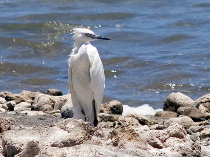
Mystery Egret

We saw this Egret at Boca Slagbaai. Posted by Picasa


We looked in our bird book and discovered that it is not a Cattle Egret and not a Snowy Egret, but we couldn't find out what it actually is.

Heron spotted

In addition to the usual flamingos and pelicans, we saw some other birds at Boca Slagbaai. Here is a Tri-colored Heron doing some feeding in the shallows.


We also saw many many Loras, some Prikichis, and a hawk in the air, and a hawk on the ground, but didn't get any photos.

Washington Park Hike

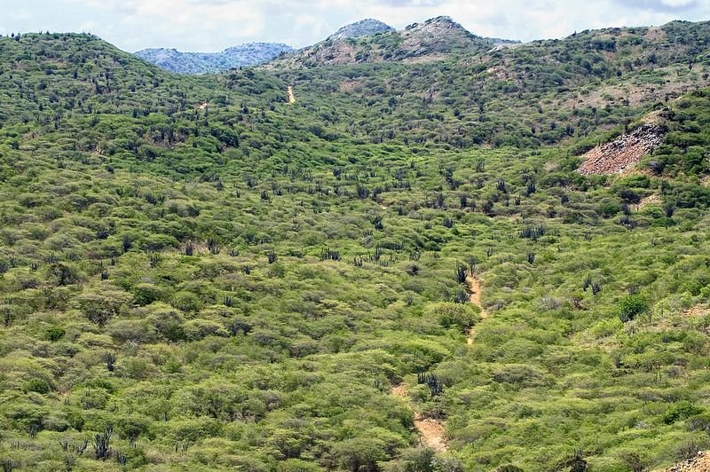
Saturday, September 2, dawned on Bonaire with clear skies. We could see Curacao quite easily for example. So Sandra and I drove into Washington Park with the goal of climbing Seru Mangel, to see what we could see from up there. We ended up climbing a smaller hill across the valley from Seru Mangel so we could scout the best way to get up Seru Mangel. The vegetation on Bonaire is so thorny that picking a clear path is essential.

The biggest surprise of the day was when we met another hiker way out in the middle of nowhere. That was great!

In addition to the pictures posted here, I have two panoramic photos that are related to Saturday's hike. We've been having problems with the Club Photo site, so I've moved these panoramas to a different hosting site that hopefully will work better. You'll still need to have your web browser's preferances set to not automatically resize the photos if you want to get the full effect of scrolling across the panorama.

The first panorama is an aerial photo that shows Boca Bartol, Seru Mangel, and the hill we climbed from the sea side. It was quite hazy the day I took this photo, so I'm hoping that we can get back in the air sometime when it is really clear, and get high quality photos. Washington Park is so hilly that your really need to be airborne to get the big picture, if you want to learn the lay of the land. In fact, it would really make my day if Google Earth were ever to add high resolution coverage of the north end of Bonaire, to go with their amazing comverage of the south half of the island.

I put some numbers on the panorama to identify a few features. #1 is Seru Mangel, #2 is the 222 foot high hill we climbed, and #3 is another hill that we want to climb in the near future. (In fact, Sandra and I climbed hill #3 on September 9) I've climbed and recorded GPS waypoints on most of the taller hills that you can see in this picture.

The second panorama is from the top of the hill we climbed and shows Boca Bartol from the inland side. I don't remember what the diving is like at Boca Bartol, but the snorkeling is above average for Bonaire, when the seas aren't too rough.

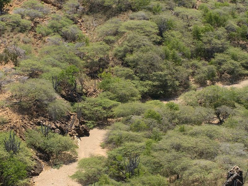
We hiked into the interior of the park on an old dirt road that connected with this dry stream bed, actually more like a dry river bed at this point.
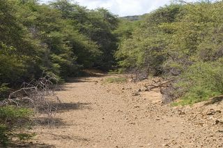

This is a view of part of the river bed from on top of the hill we climbed. That is the spot from which we will begin our climb of Seru Mangel some day.


Here is a view looking back along the stream bed and valley, towards the main park road that we drove in on, which can be seen in the distance.
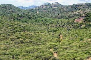

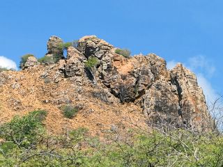
This is a close-up of the top of the hill that we climbed. We could walk right through that window like feature and see some great views. I also shot some pictures from on top of the rocks. Posted by Picasa

For some reason, it didn't occur to me until now that it might have been cool to frame some shots of the surrounding scenery using that window like feature . I guess we'll just have to climb that hill again some day. :)

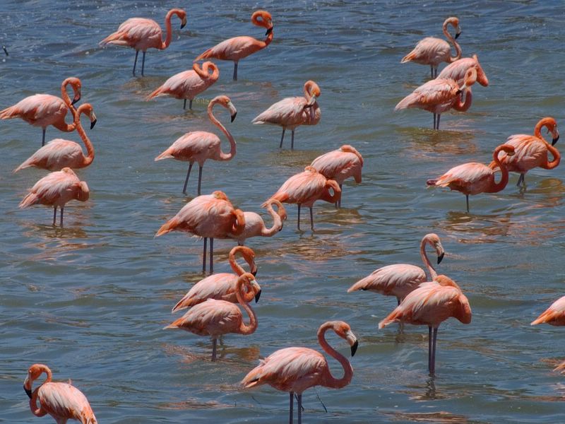
Flamingos

The salt ponds near the entrance of Washington Park have all dried up. Many of the flamingos seem to have moved to the salt ponds by Slagbaai.


Look closely at the birds' necks. Some of them can twist themselves into pretzel shapes. Posted by Picasa


There were a lot of birds here so I snapped a pictures as quickly as I could as I panned across the scene, and assembled a wide screen view of the flamingo flock. It is on my club photo site. It is about 4300 x 680 pixels in size, so if you set your web browser to not resize the images, you can pan left to right across a full screen image. (assuming you have your screen set to 1024x768)

Tuesday, August 29, 2006

Dog Days


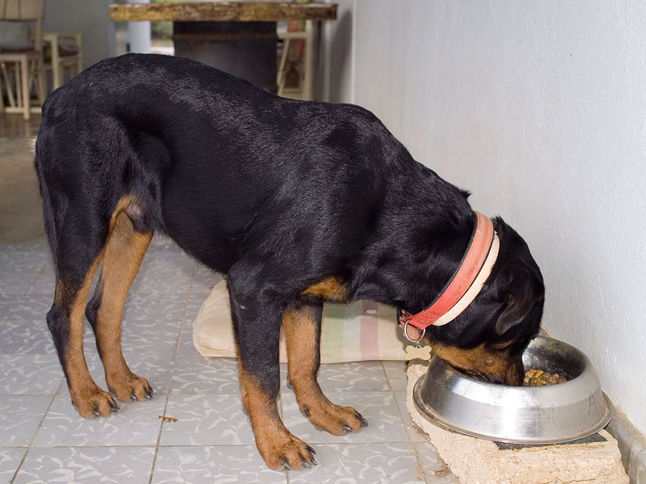
The puppy got neutered this morning. He bounced back great and was full of vim and vigor by the time I got home from work in the afternoon.

This seven and a half month old chow hound weighed in at 60.8 pounds at the vet this morning. As you can see in the photo, it's all muscle.

This pup makes no bones about the fact that mealtime is his favorite time, and he usually gets three squares a day. He was extra hungry tonight. He hadn't had anything to eat since 6 pm yesterday, 'cause of the surgery this am.

More Dog Days


We're not sure who catches the iguanas, but this guy always ends up with them. We call it his "teddy iguana" because he carries it around with him all day. Iguanas are very good at playing "possum" and run away when they get a chance.

Iggy here regained his freedom after being carted around for a few hours, when the puppy got too close and the big dog took off after him to teach him an Iguana etiquette lesson.

Wednesday, August 23, 2006

Bonaire Weather

The sky is pretty clear this morning, but there is no wind. I would have taken advantage of that fact to do a super fast bike ride this morning, except that my legs are still recovering from my bike ride after work yesterday.

If you want to see what the weather is like here on Bonaire, you can just take a look at the webcams. If you want to see what the weather will be like over the next couple days, you can watch the Tropical Update on the Weather Channel. It is on 10 minutes before the hour and we watch it faithfully this time of the year. You can see the bad weather marching towards us from Africa and get an idea of what to expect here.

We can also check the satellite images weather dot com. Here is one that shows Bonaire and the weather to the east that will be here in the next 24 hours.

This map shows all the way to Africa and gives us a long term view of what to expect. I really appreciate this, 'cause in my early years on Bonaire, the weather just happened and we didn't really know why.

Moon and Venus take 2


Since the sky has been cloudy, I've had to do my stargazing on my computer.

This is the same picture that I posted on Monday, showing the Moon and Venus. I adjusted it in Photoshop to bring out the sunrise colors and make Venus a little easier to see. You may still need to click on it to be able to spot Venus a little to the upper right of the cloud.

The actual sky looked more like the Monday picture, but I won't tell if you don't. :)
Morning Planets Update


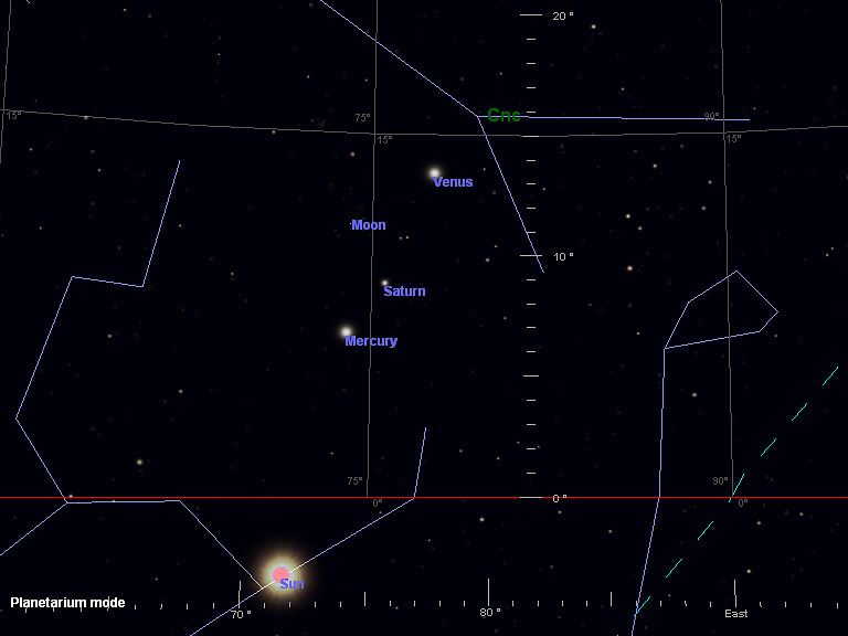
Well, the sky was completely clouded over Tuesday morning, so I didn't get to see the moon and planets show that I had mentioned on Monday. So I had to be content with looking at a simulation on my computer of what I would have seen if the sky had been clear.

I've come to appreciate that the stars and planets appear different here in the Tropics than they do in N. America or Europe. Actually I'm so accustomed to the Bonaire sky that I was quite thrown last year when we a enjoyed a clear, dark night camping on friend's property in the Catskills. I could see a zillion stars, but I had quite a time figuring out how they all fit together.

Here is another example. When I looked online to see what I could expect to see Tuesday morning, the picture showed the planets lined up in a row and tilted over at an angle from left to right. Here on Bonaire, they are also in a nice line, but the line is almost vertical. It's a noticeable difference.

That's why computer sky simulations are so handy for someone like me, who doesn't live at the mid northern latitude that most published sky charts are created for.

Check out the two computer generated images posted here. The New York sky is on the left and the Bonaire sky is on the right. The planets and the Celestial Equator (the green dashed line at the lower right) look pretty vertical on Bonaire and tilted over quite a bit as seen in New York. The New York image is like the one I saw online.
You can click on the images to see them bigger if you need to. They should load quickly.

Monday, August 21, 2006

Moon and Venus


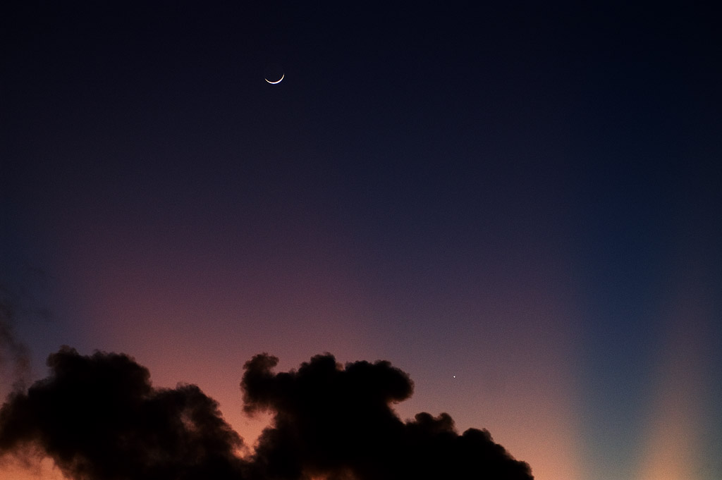
Here is what the Moon and Venus looked like just before 6 am. this morning, here on Bonaire.

The moon is pretty easy to see towards the top middle of the picture. You may need to click on the picture and make it bigger to be able to see Venus towards the lower right corner.

Tomorrow, the Moon should be lower.... more to the left of Venus.

Supposedly Mercury and Saturn can be seen to the lower left of Venus, but I didn't spot them with my naked eye this am. I'll check some of my other pictures and see if I can see anything.

Sunday, August 20, 2006

Bonaire Buggies


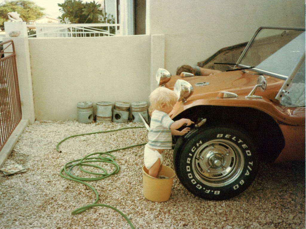
As some of you may know, during our early years on Bonaire, we had a Meyers Manx dune buggy. It was a lot of fun and a good "explore the island" vehicle. Here is a picture of Richard helping maintain it back in the early 80's.


As we drove by the Napa store yesterday, we noticed that they were having a big street fair. What really caught my eye was the bright red drag buggy on display.

They also had a couple other race cars and fired them up around noon. Yes, they were loud. The one with the big block motor had the lumpiest idle I've ever heard and you could really smell the unburned fuel. There was a 69/70 bodied Camaro too, with a small block motor that sounded really crisp and eager to rev.

The drag buggy was great. It is powered by a Mazda 13B rotary (Wankel) engine, with a humongus Weber carb and it looked like nitrous injection too. It has run a 10.69 quarter mile. That has got to be a wild ride sitting in an open buggy with your various parts flapping in the breeze.

I've got pictures on my winkflash site. You can check them out if you are a buggy enthusiast. You'll have to scroll down the page past the Rincon photos and the aerial photos to see the car photos.

You can tell from the close ups that it is not a show car, but has lots of innovative tweaks to make it fast and safe on the track. We had a nice chat with the owner, Ronald Neslo, as well.

Friday, August 18, 2006

New Construction


A new road has been put in to the east of Kaya Gob. N. Debrot, the "Hotel Row" road, that runs from the traffic circle by TWR all the way to the WEB power plant. There are some evidences of development along that road, even though it hasn't been paved as of yet. It is a great dog walking road right now, actually.

There is also a new structure starting to appear across the street from the TWR parking lot, where the Arty's World sign used to be. Rumor has it that a McDonalds is going to appear on Bonaire soon, but I don't know if that is what is being built here or not.

The whole corner has been stripped bare of vegetation. Here is a view looking east towards the TWR activities building from the west side of the traffic circle. The new building is going up just to the left of what you can see here, which puts it more or less across the street from the Sand Dollar Grocery.

I've created a panorama from three images I took in the TWR parking lot. You can see it on my club photo site by following this link, I hope. There will be a link in the club photo page to let you see the full 1747x700 pixel panorama. If you have set your browser to NOT resize images, you'll be able to scroll across the image and see lots of detail.

Blast from the Past


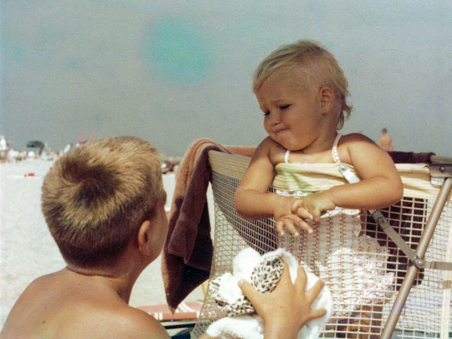
Here is a picture of Sandra and me vacationing on Cape Cod 42 years ago.

Little did we know.......

Silver Anniversary


I'm still having problems posting pictures to the blog. So I'll just post the text and add pictures when I can.

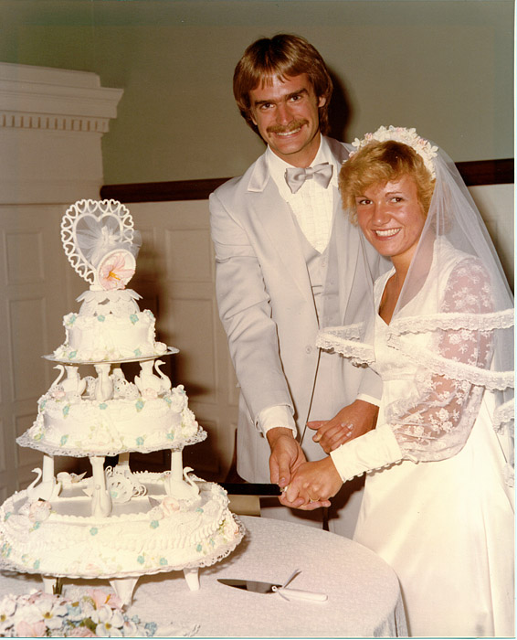
Sandra and I celebrated our silver wedding anniversary on Tuesday. Here is a shot of our big day, 25 years ago.

Wednesday, August 16, 2006

Diggers


Sandra celebrated our 25th wedding anniversary, on Tuesday, by hanging out with the dogs inside our house with the windows closed. This super gigundo jackhammer machine was directly in front of our house, and boy was it loud. We could feel the impact of the hammer through the floors too, even in the back room.

Most of the main roads are dug up right now. The word is that Telbo is preparing to lay fiber optic cable for a super broad-band service - internet, digital TV and the like. I don't know if we would spring for something like that at the house, but a fiber optic super fast connection would revolutionize downloading all our radio programs at the TWR office.

I celebrated by going to the dentist. whoo whoo! The pictures of that are too gruesome to post, heh-heh.

Monday, August 07, 2006

More Aerial Photos


Last week, I posted a couple pictures on my blog, of Sorobon as seen from the air.

Now I've put a whole bunch of photos of Bonaire landmarks on my club photo site.

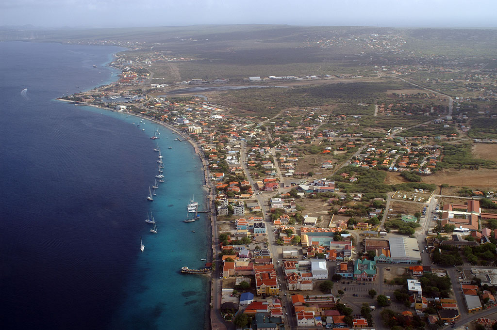
When you follow the link to my club photo site, scroll past the Rincon Day pix to get to the new aerial photos. It was a pretty hazy day, but I still enjoy looking at familiar places from a new perspective. Ernie Franke (the pilot) and I are already dreaming about doing another flight around Bonaire on a really clear day, some day.

If you know Bonaire well, you can have some fun figuring out what is shown in each photo, based on the cryptic file names. I might eventually put real descriptions with each photo, but we'll see....

There are a few photos labeled "house" that are hi-resolution images, so you can see lots of detail if you tell your browser not to automatically resize the pictures to fit your screen. Most of the rest of the pictures are around 920x680 pixels. The pictures labeled "house", also show the Golden Reef Inn, since it abuts our back yard.

Sunday, August 06, 2006

Birds of a Feather


I've been seeing the usual number of Bonarian Parakeets on my bike rides, but lately I've seen some Loras (the large parrots) too.

A couple of Loras have occasionally been hanging out in one of our trees at home in the late afternoon, but never when I've had a camera handy, grrrr.

I was in the back yard thursday evening shooting dog pix, and there were a couple Parakeets hanging around. So here is a Parakeet picture, while we wait for a Lora picture.

Thursday, August 03, 2006

View from the Office update


Back on May 11, I noted that the rubble across the street from the TWR studios and offices, where the Bonaire Beach Hotel used to be, was being cleared away.

Work has continued steadily since then, and it is starting to look downright nice over there now.

Here is the view from our parking lot this morning.

Puppy Update


I had posted some dog pix back on May 25. You can click on "May 2006" in the archives list at the right side of this page to see the May stuff.

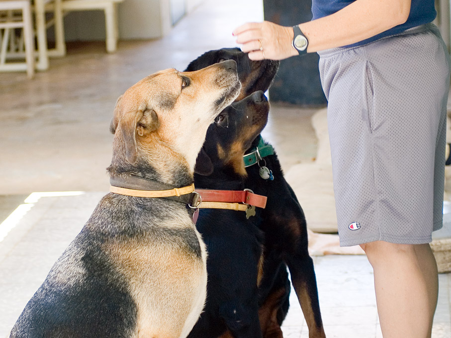
The puppy continues to eat like a pig and grow like a weed. Here is a current picture of our roaming home security team receiving their marching orders from Sandra.

Sorobon from the Air

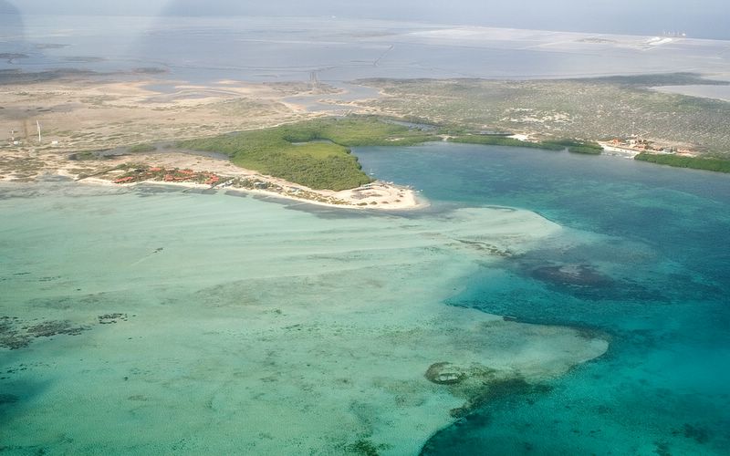
Here are a couple pictures of where everyone windsurfs, on the Sorobon side of Lac Bay. We flew just outside of the reef and were looking back towards Bonaire.

The light green water is waist deep and is the area that beginning and intermediate windsurfers sail in. More advanced sailors can venture into the blue (deeper) water extending off the lower right corner of the picture, and sail all the way over to the Cai side, if they want to.


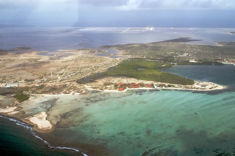
We have flown a bit more south now and you can see the south part of the reef that extends from Sorobon to Cai and creates Lac Bay.
This view shows how just close to sea level much of the southern part of Bonaire is.

You can just see some fingerlike formations of coral inside the reef towards the bottom right edge of the picture. This is an awesome snorkeling area if there aren't too many waves.


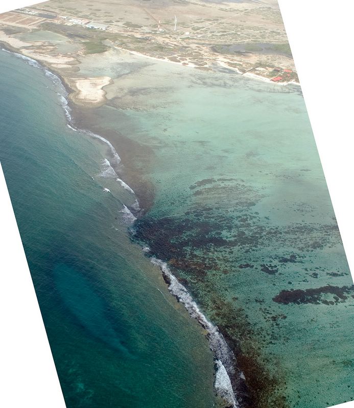
This view is just outside the south end of the reef. The fingerlike coral formations and more can be seen right in the middle of the picture, just to the right of the waves breaking on the main reef.
At the lower left of the picture is is an oblong formation under the water that we used to call "the trench", but is more commonly known these days at "white hole." It is a sink hole of sorts in the ocean floor, and has a sandy bottom, so it looks light in color with a dark rim around it. We often see tarpon and sometimes see a nurse shark in the trench, and always see turtles and rays out past the trench as the bottom slopes away to deeper water. Posted by Picasa


I was really pleased that we could see the trench from the air. Then I had the bright idea of seeing if I could find it on the Google Earth picture of Bonaire. See my post below about Google Earth. Sure enough, you can easily see the trench on Google Earth. Just search on
12.094129N 68.228076W

The windsurfing centers can be seen at 12.093088N 68.236209W

The beach, conch piles, and buildings at Cai are at: 12.103612N 68.222346W