The biggest surprise of the day was when we met another hiker way out in the middle of nowhere. That was great!
In addition to the pictures posted here, I have two panoramic photos that are related to Saturday's hike. We've been having problems with the Club Photo site, so I've moved these panoramas to a different hosting site that hopefully will work better. You'll still need to have your web browser's preferances set to not automatically resize the photos if you want to get the full effect of scrolling across the panorama.
The first panorama is an aerial photo that shows Boca Bartol, Seru Mangel, and the hill we climbed from the sea side. It was quite hazy the day I took this photo, so I'm hoping that we can get back in the air sometime when it is really clear, and get high quality photos. Washington Park is so hilly that your really need to be airborne to get the big picture, if you want to learn the lay of the land. In fact, it would really make my day if Google Earth were ever to add high resolution coverage of the north end of Bonaire, to go with their amazing comverage of the south half of the island.
I put some numbers on the panorama to identify a few features. #1 is Seru Mangel, #2 is the 222 foot high hill we climbed, and #3 is another hill that we want to climb in the near future. (In fact, Sandra and I climbed hill #3 on September 9) I've climbed and recorded GPS waypoints on most of the taller hills that you can see in this picture.
The second panorama is from the top of the hill we climbed and shows Boca Bartol from the inland side. I don't remember what the diving is like at Boca Bartol, but the snorkeling is above average for Bonaire, when the seas aren't too rough.
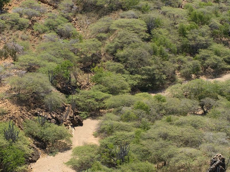
We hiked into the interior of the park on an old dirt road that connected with this dry stream bed, actually more like a dry river bed at this point.

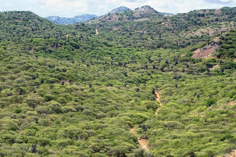
This is a view of part of the river bed from on top of the hill we climbed. That is the spot from which we will begin our climb of Seru Mangel some day.
Here is a view looking back along the stream bed and valley, towards the main park road that we drove in on, which can be seen in the distance.
This is a close-up of the top of the hill that we climbed. We could walk right through that window like feature and see some great views. I also shot some pictures from on top of the rocks.


For some reason, it didn't occur to me until now that it might have been cool to frame some shots of the surrounding scenery using that window like feature . I guess we'll just have to climb that hill again some day. :)
No comments:
Post a Comment