
After you pass Bopec and are back at sea level on you way to New Cove and Playa Frans, Seru Wekua is the big hill on the right, just after the small salt flats. It's about 535 feet tall.
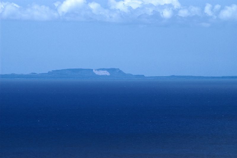
If you look to the left of Seru Wekua in the above photo, you can see Curacao lying on the horizon. In the photo below, I zoomed in on one end of the island. That white area is a quarry of sorts where they have dug into the hillside, so that fresh white limestone is exposed.

I took these shots from the ridge above Bopec. I went up an old overgrown path to the part of the ridge that overlooks Goto Meer, and then walked north along the top of the cliff to the part that is accessible by the new dirt road that may or may not be for a yet to be installed radar station. It was really clear today, and the views of Washington Park, Curacao, and Bonaire were well worth the hike.
2 comments:
I'm seriously stunned at how good that picure of curacao came out? Was it a really clear day?
I'm guessing that Sunday was the clearest day we've had in quite a while. That's why I went up north, 'cause I thought it might be a good Curacao day. It was good, but not as clear as the time we saw Venezuela from the top of Brandaris.
The first picture is pretty representative of what you could see with the naked eye. The second picture is with the zoom lens at 300mm, which is like 450mm on a film camera, and lots of post processing in Photoshop.
Post a Comment