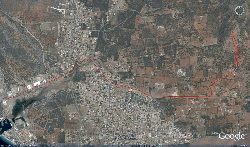
Here is the track from our trip to the cool hilltop east of Antriol yesterday. (see pix in the post below this one) We started at the TWR offices and headed east on Kaya Amsterdam, etc. The funny loop part at the right side of the picture is where we hiked on foot. The rest was by car.

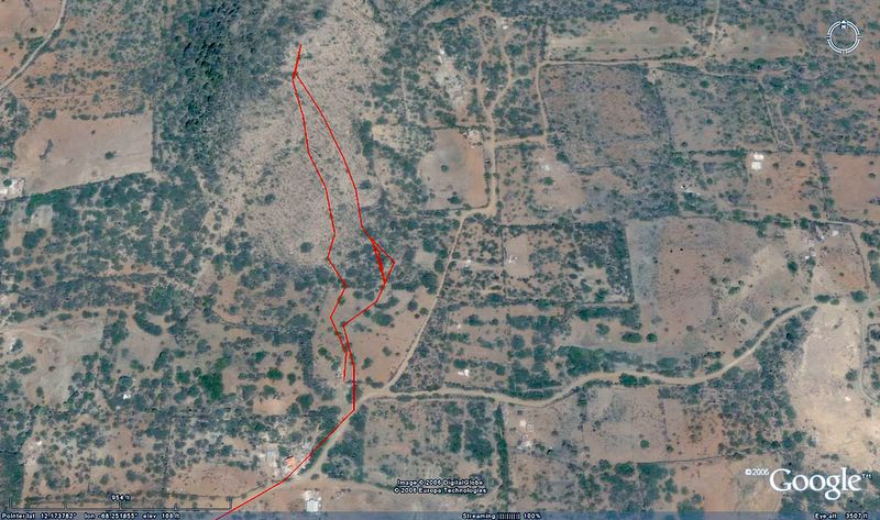
Here is a close up of where we parked and hiked. We went up on the track to the right and came down on the track to the left. The left side was much better. If we do it again, we'll go both up and down on that left hand "path."


2 comments:
Bon dia Brad,
Thanks for the report. Even though we've lived on Bonaire for four years, I'm still amazing at the number of new (to me) cool places and things on Bonaire.
Being from Utah and having spent a lot of time in the red rock country, your pictures make me very nostalgic!
Have you seen Bonwiki ( http://bonwiki.com/ )?
Bonwiki would be an ideal place for you to document these places of interest you write about as you can annotate a google map that shows the locations.
Is the red line in the photo your GPS track?
Te otro biaha,
Roger Burnham
http://blennylips.com/
Hi Roger,
I haven't seen Bonwiki. I'll check it out. Thanks
Yes, the red line is a GPS track. "Ozzie Explorer" has an export to Google Earth option that works great.
When I'm tromping around in Washington Park or other points north, I use Ozzie Exp to plot my tracks on the Geological Survey maps that I've scanned and calibrated. But for the part of Bonaire that is high rez on Google Earth, plotting the GPS tracks on GE, and comparing that to the survey maps is very interesting.
Post a Comment