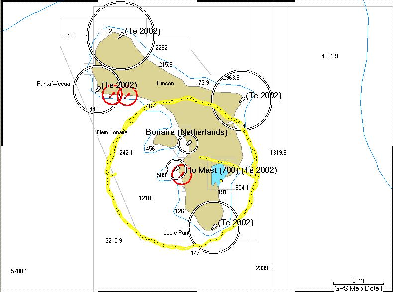
The guys flew around the towers in a 12 kilometer radius circle. The signal strength meter and a GPS receiver were hooked to a laptop computer. That way we had signal strength and position information synced together.
This is a plot (yellow circle) of their actual path on two of the trips around the towers.
You can click on the pictures to see them bigger.
Here Rich F., Udo, and Rich W. are mounting the antenna to the wing strut.

Helmut gets some baseline readings with the signal strength meter.

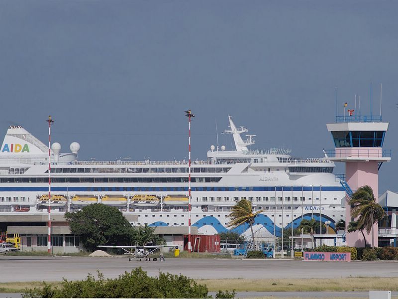
Here is a shot that puts the Cessna 175 and the Bonaire airport in perspective. The airport security guys must be scratching their heads at how that ocean liner sneaked in, heh-heh.
No Photoshop tricks here, just a small island and a telephoto lens.
Taking off... you can see the antenna mounted under the wing on the left side of the plane.


It was an interesting ride because the trade winds were a solid 26 knots, but initial indications are that they got good data.
No comments:
Post a Comment