We drew an arc on the map with a radius of 11km, stretching from due East of our towers all the way to due West of them. We then plotted the Latitude and Longitude of points every three degrees along this arc and took signal strength readings with a special calibrated receiver called a field strength meter.
Our path took us from a couple kilometers off the coast of Bonaire at a point a little North of Lac Bay, to a point about a half a kilometer off shore right at Willemstoren, to points almost 11 km out to sea at the Western end of our arc.
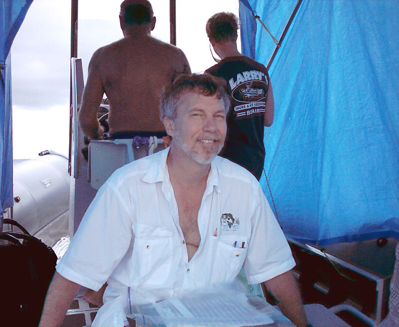
We engages the services of Larry and his boat, which was built with the sea conditions of Bonaire's rough side in mind. Fortunately, it was pretty calm out there, for Bonaire, so we were able to get good signal strength readings. Here's a picture of Bob, with Larry at the helm and first mate, Mark, navigating from the GPS receiver.
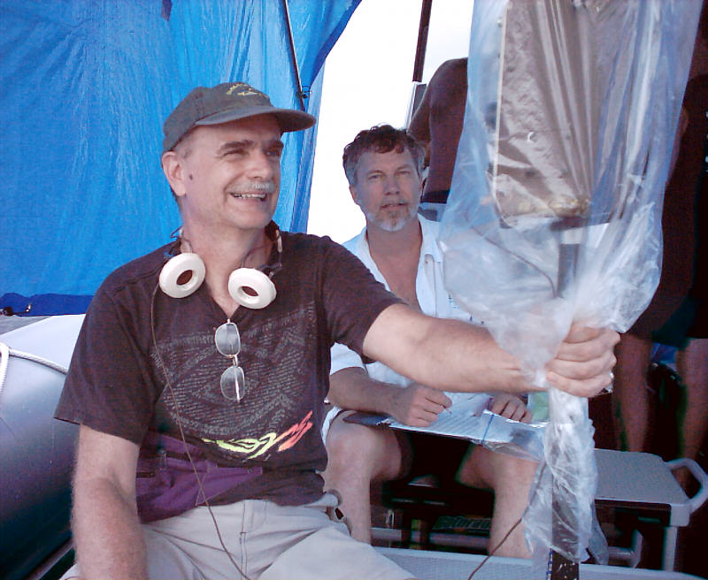
Bob had a big tarp that we bungy corded over the top of the boat, to help keep the spray off of our equipment. Here we see Brad holding the all important field strength meter.
We were out on the water from about 8am to 2 pm. Here we find Helmut Menzel checking up on the all important food supply.

Rich must have read Luke 8:23 for devotions that morning.

Looking towards the southernmost point of Bonaire from the sea. Don't forget, you can click on any of these pictures to see them bigger.

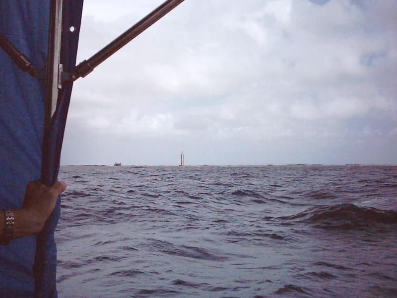
Those of you who know the windward side of Bonaire will note that it was pretty calm that day.
No comments:
Post a Comment